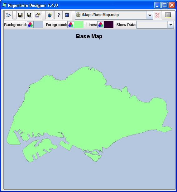
They are the add-on maps over the base map (the first map that user wants to appear as the outline first, as shown in Figure 4.9, “Example of Base Map without Map Layer”.
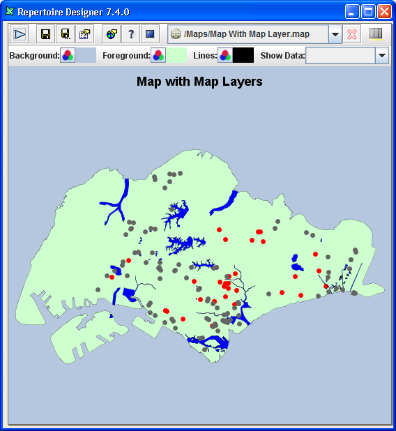
These add-on maps can be additional graphics like canals, road routes, shopping malls, libraries, etc.
From Figure 4.9, “Example of Base Map without Map Layer”, the blue strips are the Singapore canals, the black line represent the major highways and the red dots represent the hospitals and polyclinics whereby you can see the specific names when you hover the cursor over the red dots.

